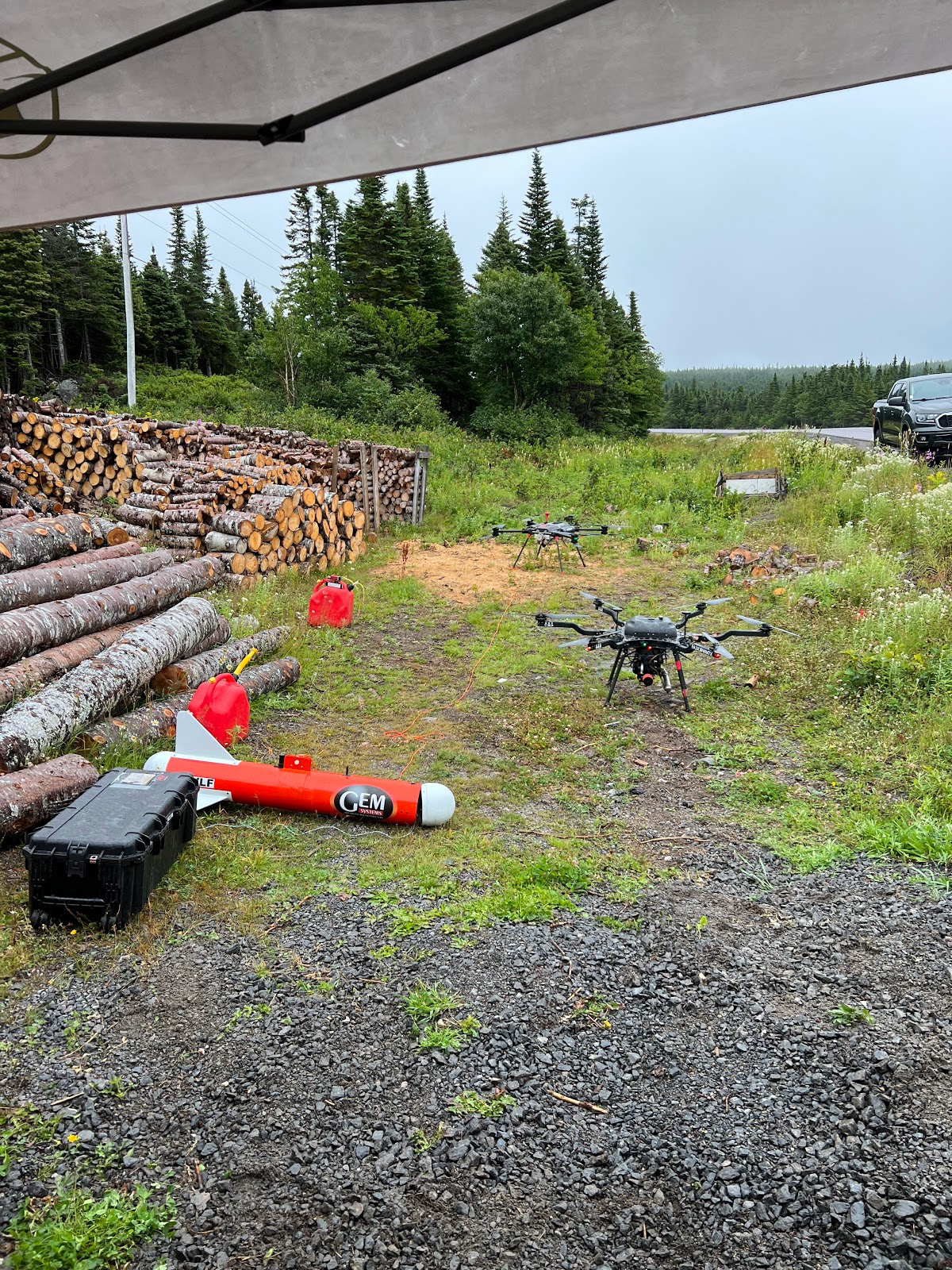


WHO WE ARE
Overhead Intelligence is a geospatial mapping company that designs and deploys open source UAS platforms for large scale surveying and mineral exploration.
OPERATIONS

Overhead Intelligence is at the forefront of technological innovation in mineral exploration. Our focus is to increase the capabilities of UAV-mounted aerial mapping systems and expand access to affordable high-resolution datasets.
We aim to consistently collect the cheapest and highest fidelity airborne data at a continental scale.
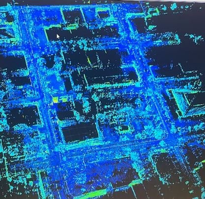
RESEARCH & DEVELOPMENT
Overhead Intelligence believes in creating affordable open-source systems that are easily compatible with off-the-shelf components.
Our community is tired of manufacturers claiming to have “open architectures” for their systems, when these systems actually only work with the manufacturers custom products or end up requiring countless engineering hours to integrate simple products.
OPEN SOURCE SYSTEMS & ARDUPILOT EXPERTS